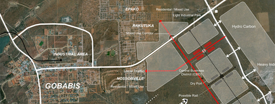

Land Use refers to the existing use on land or an erf and the survey of these land uses entails conducting detailed site inspection in order the record the existing land uses being undertaken in a specific area. These land uses are then recorded in digital format and provided to the relevant Local Authority.
A land use survey is usually done to assist the Local Authority to assess the current type of land uses being undertaken in a certain area as well as when the first Town Planning Scheme is done for a town. This land use survey is then used to prescribe the most suitable zoning to an erf.

